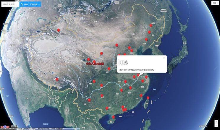
Baja California Sur (Spanish pronunciation: [ˈbaxa kaliˈfornja sur]), officially Free and Sovereign State of Baja California Sur (Spanish: Estado Libre y Soberano de Baja California Sur, literally: South Lower California), is the smallest (by population) of the 31 states which, with the Federal District, make up the 32 Federal Entities of Mexico. Before becoming a state on October 8, 1974, the area was known as the South Territory of Baja California. It has an area of 73,475 km2 (28,369 sq mi), or 3.57% of the land mass of Mexico and occupies the southern half of the Baja California peninsula, south of the 28th parallel. It is bordered to the north by the state of Baja California, to the west by the Pacific Ocean, and to the east by the Gulf of California, also known as the "Sea of Cortés." Also, the state has maritime borders with Sonora and Sinaloa to the east across the Gulf of California.
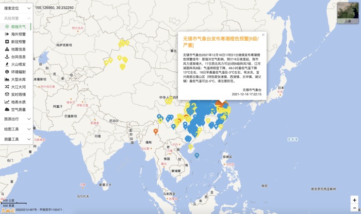
Extreme weather in China
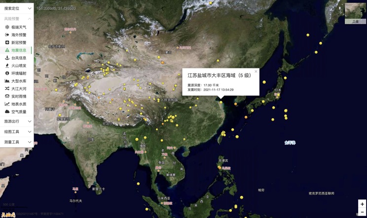
China Earthquake Information
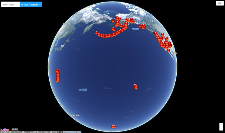
Volcano eruption
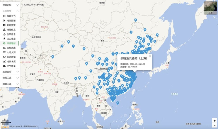
Environmental Radiation in China
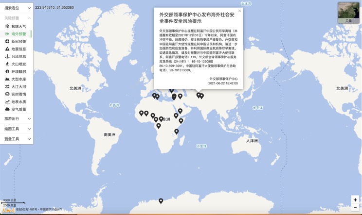
Overseas Warning
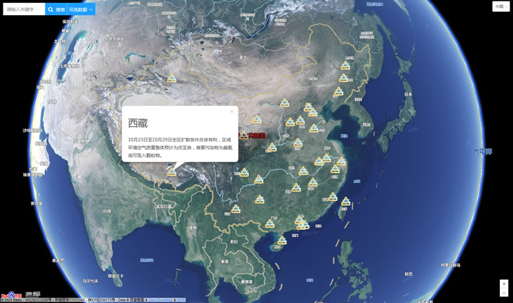
China's air quality
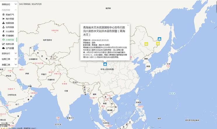
China's Water Disaster Alert
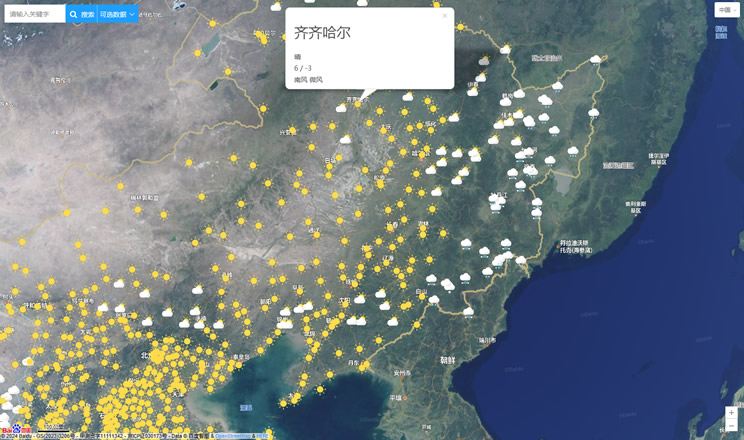
China Weather Forecast
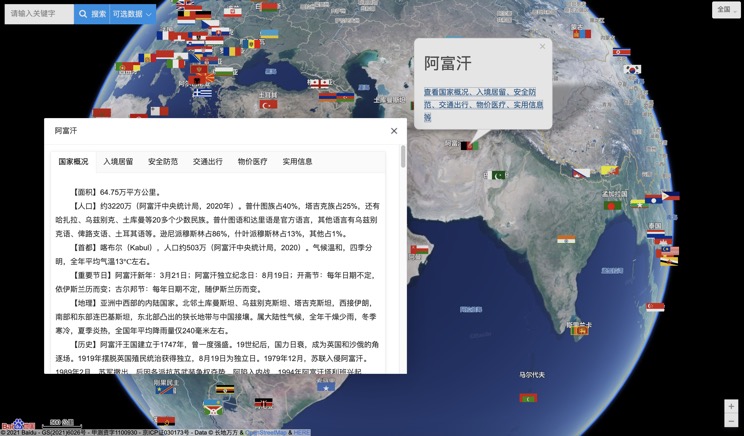
Introduction to Countries
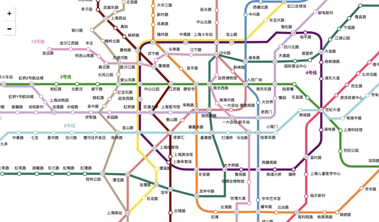
China Subway Lines
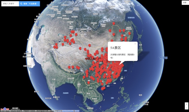
China's 5A Scenic Spots
Provincial Capitals in China
